Purple Air - Community Monitor Map
Click here to view the PurpleAir Community Map with Real-Time sensor reading
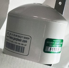
PurpleAir is a community air monitoring system of PM (10, 2.5, 1.0) air pollution sensors.
The PurpleAir system is composed of many sensors that are installed, controlled and maintained by members of the community.
PurpleAir sensors use a fan to draw air past a laser, causing reflections from particles in the air. These reflections are used to count particles in six sizes between 0.3 and 10 micrometers in diameter.
Using 1-second particle counts, estimated total mass for PM1.0, PM2.5 and PM10 is averaged by the PurpleAir Internet of Things (IOT) control board.
Readings are then uploaded to the cloud every 80 seconds (or so) where they are stored for download and display on the PurpleAir map.
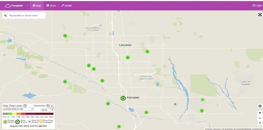
While readings from these sensors currently can’t be used for official pollution statistics/data, they provide a general idea of the PM readings in the area near the community sensor.